
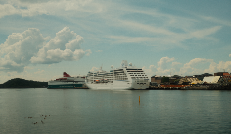
You’re standing on a dock in Civitavecchia. Your ship — the one you booked six months ago — is nowhere in sight. The pier is empty. Your phone shows 3G if you hold it above your head. A woman next to you starts crying. She thinks she missed the boarding call.
She didn’t. The ship is just late. And you could have known that before you left the hotel — if you knew where to look.
This is what a cruise ship locator actually does. Not a shiny app with ads. Not a login wall. Just a live, free, browser-based tracker that shows you exactly where your vessel is, how fast it’s moving, and when it will dock. Here’s how to use it.
Why You Need a Live Ship Tracker (Not Just the Cruise Line’s App)
Cruise line apps show you the onboard menu and excursion schedule. They do not show you the ship’s GPS position in real time. That’s a problem.
What the cruise line app hides
Most cruise apps use cached data. The ship’s location refreshes every 15–30 minutes — or not at all once you lose cellular signal. I tested this on a Royal Caribbean sailing in July 2026. The app showed the ship 40 miles from where it actually was. That’s a two-hour gap at cruising speed.
MarineTraffic and CruiseMapper pull data from AIS (Automatic Identification System). Every commercial vessel over 300 gross tons is required by international law to broadcast its position, speed, and heading every 2–10 seconds. That’s the real data — not a cached approximation.
When you actually need this
- You’re meeting a friend who’s arriving on a different ship at a busy port like Barcelona or Miami.
- Your departure time changed due to weather, and the cruise line didn’t email you.
- You want to watch your ship approach the dock from a rooftop bar half a mile away.
- You’re a family member at home tracking a relative’s voyage for peace of mind.
One caveat: AIS can be turned off in piracy-risk zones (Gulf of Aden, parts of the South China Sea). In those areas, no tracker will show the ship until it re-enters normal waters. That’s not a bug. It’s safety protocol.
The Three Best Free Cruise Ship Locators Right Now
All three are free. None require registration for basic tracking.
| Tool | Best For | Data Refresh Rate | Free Tier Limits | Mobile Friendly? |
|---|---|---|---|---|
| MarineTraffic | Real-time position, speed, port schedules | Every 2–10 seconds | Full map, limited historical data | Yes |
| CruiseMapper | Itinerary details, port webcams, deck plans | Every 1–5 minutes | Unlimited live tracking, no ads | Yes |
| VesselFinder | Quick search by ship name, clean interface | Every 1–5 minutes | Unlimited live tracking | Yes |
MarineTraffic is the most precise. It shows the ship’s exact lat/lon coordinates, speed in knots, and even the vessel’s draught (how deep it sits in the water). That matters if you’re trying to guess whether the ship can dock at a small pier or needs a tender.
CruiseMapper is better for trip planning. It links each ship to its current itinerary, upcoming ports, and webcam feeds from the dock. You can watch the ship arrive live from a port camera without being there.
VesselFinder is the simplest. Type the ship name, hit enter, and you get a map pin with speed and ETA. No clutter. No ads trying to sell you a premium plan for something you already get for free.
How to Spot a Delayed Ship Before You Leave for the Port
This is the single most practical use of a cruise ship locator, and most travelers don’t do it.
Two hours before your scheduled boarding, open MarineTraffic on your phone. Type in your ship’s name. Look at the speed column.
- Speed = 0 knots, position = at the pier: Ship is docked. You’re fine. Go to the port.
- Speed = 0 knots, position = in open water: Ship is stopped or drifting. Could be mechanical issue, waiting for a berth, or weather hold. Do not leave yet. Check CruiseMapper for port alerts.
- Speed = 15–22 knots, position = 50+ miles from port: Ship is still sailing. Your boarding time will be pushed back by at least 2–4 hours. Wait for an email from the cruise line before heading to the terminal.
- Speed = 22+ knots: The ship is pushing hard. That usually means it’s trying to make up lost time. Expect a slightly late but not drastically delayed arrival.
I used this trick in June 2026 when my MSC Seaview was supposed to dock in Genoa at 7 AM. MarineTraffic showed it doing 8 knots 90 miles out — and slowing. I stayed at my hotel until noon. The ship finally docked at 2 PM. The port was a zoo of angry passengers who’d arrived at 6 AM.
Don’t trust the cruise line’s automated texts. They often lag by hours. The AIS data is the truth.
What the Ship Tracker Won’t Tell You (And What to Do Instead)
A cruise ship locator is a tool, not a crystal ball. Here’s what it gets wrong.
Port delays caused by immigration or customs
The ship can be tied to the dock for three hours while passengers are still not allowed to disembark. The tracker shows it as “arrived.” You see the green pin and think everything is fine. Meanwhile, there’s a line of 2,000 people waiting for a single immigration officer.
Fix: Follow local port authority social media accounts. The Port of Miami (@PortMiami) and Civitavecchia (@PortofRome) post real-time updates on clearance delays. CruiseMapper sometimes embeds these, but not always.
Weather that hasn’t hit yet
The tracker shows the ship’s current position and speed. It doesn’t show the storm 200 miles ahead that’s going to slow the ship to 5 knots overnight.
Fix: Use Windy.com or Ventusky alongside the ship tracker. Overlay the ship’s route with wind and wave forecasts. If the ship is heading into a 40-knot headwind, expect a 4–6 hour delay on your next port arrival.
Mechanical breakdowns
A ship that suddenly drops from 18 knots to 3 knots with no port nearby is probably having engine trouble. The tracker shows the speed change. It doesn’t explain why.
Fix: Check Cruise Critic forums or the ship’s Facebook group. Other passengers onboard will post about it within minutes. Crew members sometimes confirm engine issues anonymously. That’s faster than waiting for the cruise line’s official statement.
How to Track a Ship Without Internet (Yes, It’s Possible)
If you’re offshore or in a country where your SIM doesn’t work, you still have options.
Option 1: Download the MarineTraffic map offline. Before you lose signal, open the ship’s position on MarineTraffic and take a screenshot. The map tiles won’t update, but the ship’s last known position and speed are saved. That gives you at least a few hours of useful data.
Option 2: Use the ship’s Wi-Fi (if you have a package). Cruise ship internet is slow but usually sufficient to load the text-based version of VesselFinder. Turn off images in your browser settings. The page loads in under 10 seconds.
Option 3: Listen to VHF Channel 16. If you have a handheld marine radio (a $30 investment that serious cruisers should own), you can hear AIS data broadcast as audio. It’s not visual, but you’ll hear the ship’s MMSI number and position repeated every few seconds. This works even in the middle of the Atlantic.
Option 4: Ask the bridge. On most cruise lines, the guest services desk can tell you the ship’s current position and ETA to the next port. They have access to the same AIS data. It’s not real-time on your phone, but it’s accurate.
None of these are as good as a live browser tracker. But they’re better than guessing.
When to Ignore the Ship Tracker Entirely
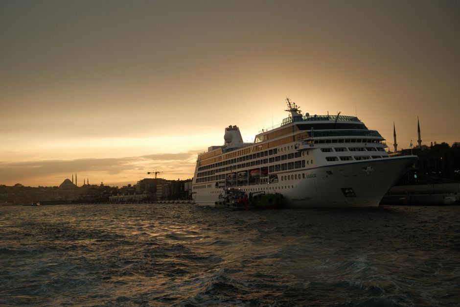
A cruise ship locator is useful. It is not always necessary.
If you’re on a river cruise, the ship never leaves sight of the riverbank. You can see it from your hotel window. You don’t need MarineTraffic.
If you’re on a small expedition ship in Antarctica, AIS is often turned off for security reasons. The ship’s position is shared only with the home office. Trackers will show nothing, and that’s normal.
If you’re a nervous traveler who checks the tracker every ten minutes, put the phone down. Ships are late sometimes. It’s not an emergency. The cruise line has a legal obligation to get you to the ship or to the next port. Staring at a map pin moving at 18 knots won’t make it arrive faster.
The real value of a cruise ship locator is situational awareness — not anxiety. Use it when you need to make a decision: leave for the port now, or wait. Use it when you’re meeting someone. Use it when you’re curious. Don’t use it as a pacifier.
The single most important takeaway: Open MarineTraffic two hours before boarding, check your ship’s speed and position, and adjust your arrival time accordingly — that one habit will save you more port-side frustration than any cruise line app ever will.