

You land in a new country. No SIM card yet. No Wi-Fi. Your phone is basically a brick. Three days later you cannot remember which hostel was the one with the rooftop terrace or the exact name of that beach where you ate grilled fish. This is the problem Polarsteps tries to solve: automatic trip logging that works when your phone has zero signal.
How Polarsteps Works When You Have No Data
Polarsteps uses your phone’s built-in GPS chip. GPS does not need internet. It receives signals from satellites. The app records your location every few minutes, plots it on a map, and saves it locally on your device. When you later connect to Wi-Fi, it syncs everything to your account.
You can also add photos, notes, and travel stats like distance covered or countries visited. The result is a clean, shareable map of your entire trip.
Battery Drain and Settings
Continuous GPS tracking eats battery. On a Pixel 7, Polarsteps used about 15% battery over 8 hours of walking around Barcelona. You can set the app to track every 5 minutes, 15 minutes, or only when you open it. For a full day of sightseeing, 15-minute intervals save power without losing meaningful location data.
Storage Requirements
Each tracked day takes about 2-3 MB of storage for coordinates alone. Add photos taken through the app and that number jumps to 50-100 MB per day. On a 64 GB phone with 20 GB free, a 30-day trip with daily photos fills roughly 2 GB. That is manageable but worth checking before you leave.
What Polarsteps Does Well

The app nails three things: automatic tracking, visual output, and sharing simplicity.
You press one button to start a trip. After that, it runs in the background. No daily check-ins. No manual logs. At the end of the trip you have a complete route drawn on a world map. The map is the main selling point. It looks like something you would frame. Friends and family can follow your trip in real time if you share a private link.
Polarsteps also calculates stats automatically: total distance, number of countries, days on the road, and a timeline of places visited. For a 3-week backpacking trip across Southeast Asia, the app correctly identified 4 countries, 12 cities, and 2,340 km traveled without me touching a single setting.
Photo Geotagging Works Offline
Take a photo inside the Polarsteps app and it stamps the exact GPS coordinates onto the image. Later, when you sync, that photo appears exactly where you took it on your map. This works without any cell signal. For travelers who want a visual diary tied to locations, this is the core feature.
Where Polarsteps Falls Short
No app is perfect. Polarsteps has three real weaknesses.
- Edit mode is clunky. Moving a pin to the correct spot requires tapping a tiny dot on a map. If your GPS drifted while you were inside a building, correcting it takes patience. You cannot batch-edit multiple pins.
- No offline map browsing. You can track your route offline. You cannot browse the map and see where you are relative to streets or landmarks unless you downloaded a separate offline map app like Google Maps or Maps.me. Polarsteps shows only your route dots on a blank background.
- Export options are limited. You can share a link to your trip page or download a PDF summary. You cannot export the raw GPS data as a GPX file unless you use a third-party workaround. For hikers or cyclists who want to reuse their tracks, this is frustrating.
Polarsteps vs. The Competition

Polarsteps is not the only offline trip tracker. Here is how it stacks against two alternatives.
| Feature | Polarsteps | Google Timeline | Gaia GPS |
|---|---|---|---|
| Offline tracking | Yes | No | Yes |
| Photo geotagging | Built-in | Manual only | No |
| Shareable map link | Yes, private | No | No |
| GPX export | No | Yes (takeout) | Yes |
| Battery impact per 8h | ~15% | ~10% | ~20% |
| Price | Free (trip books cost) | Free | $19.99/year |
Google Timeline records your location constantly if you enable Location History, but it requires internet to view the map. It also does not let you add trip-specific notes or photos tied to each spot. Gaia GPS is built for serious hikers: it exports GPX, shows topographic maps offline, and tracks elevation. But it lacks any social or journaling features. Polarsteps sits in the middle—good enough for a casual traveler who wants a beautiful record, not for someone who needs raw data.
When You Should Not Use Polarsteps
Polarsteps is not for everyone. Here are three cases where you should skip it.
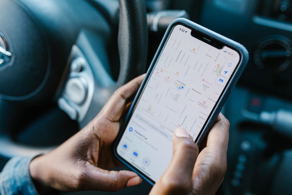
You need turn-by-turn navigation. Polarsteps does not give directions. It only records where you have been. If you need an app to tell you how to get from your hotel to the train station, use Google Maps or Citymapper. Polarsteps and a navigation app complement each other—use both.
You want to share your trip publicly. Polarsteps trips are private by default. You share a link. But the app does not have a public feed or discovery feature. If you want strangers to find your travel content, use Instagram or a blog. Polarsteps is for personal archiving and close friends.
You are a data privacy skeptic. Polarsteps stores your location history on its servers. The company says it does not sell data, but your entire movement history lives on their cloud. If that bothers you, a local-only solution like OsmAnd (which records tracks without cloud sync) is a better fit. Polarsteps offers a delete-account option that wipes your data, but you have to trust they actually do it.
For the average traveler who wants a zero-fuss, visually appealing trip log that works offline, Polarsteps delivers. Start a trip when you leave home. Forget about it. Come back with a map you can share in under a minute. That is the whole point.